Treugolnik Peak
Treugolnik Peak
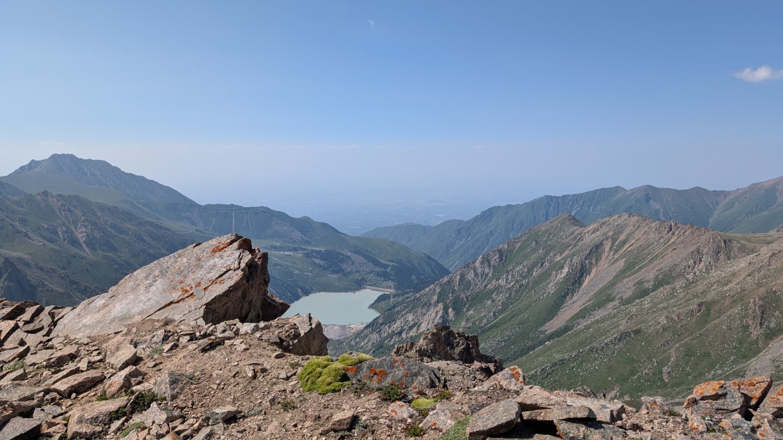
18.1km
Total Distance
1,317m
Elevation Gain
Recent posts
1 post


Route Map
Along the trail
- 1Drinking waterat the start
- 2Shelter · 1km
- 3Viewpoint · 1.1km
- 4Spring · 2.6kmsprings can run dry
- 5Shelter · 3.8km
- 6Spring · 4.2kmsprings can run dry
- 7Shelter · 4.2km
- 8Shelter · 7.1km
- Parking
- 13m from the start
- Surface
- gravel 52%, natural ground 48%
- Marked route
- Ulken Alamaty circle trail, Круговой маршрут из Большого Алматинского ущелья в Проходное через Космостанцию и перевал Алматы Алагир
Difficulty
4/5 · Difficult- Experience with long mountain hikes
- Bring enough water - check sources along the route