Talgar Peak
Trail description
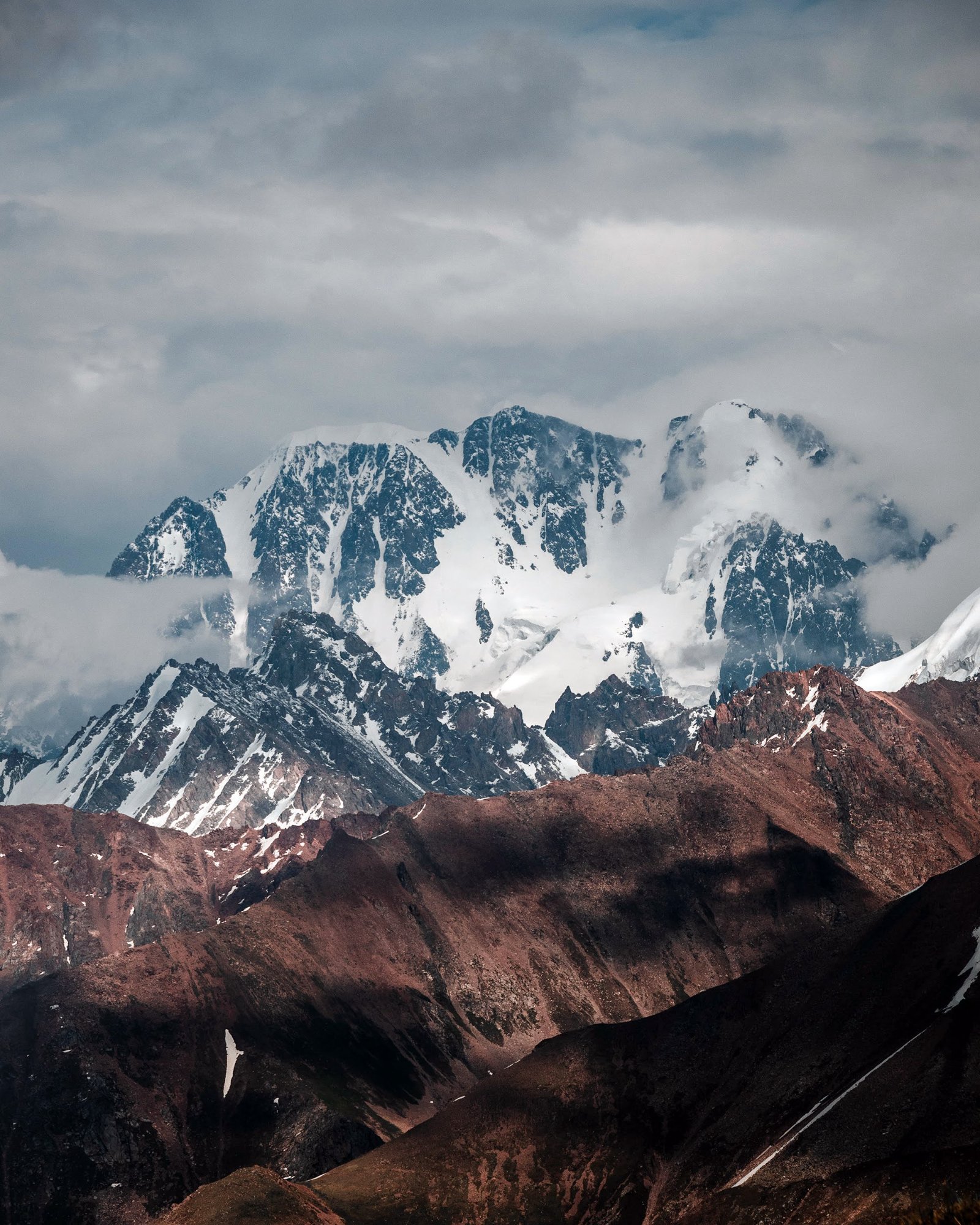
Talgar Peak is the highest point of the Trans-Ili Alatau (approx. 4,979 m) and the most prominent summit on the Almaty skyline. The massif is located in the upper reaches of the Left and Right Talgar valleys within the Almaty State Nature Reserve; therefore, a permit is required to visit the area, and the route should be planned in advance. This is not a weekend hiking trail, but a full-scale mountaineering ascent: approaches take several days through the Left Talgar valley via moraines and glaciers. The classic route to the summit is a 3A category snow and ice climb, involving glacier and ridge traverses. The main summit was first climbed in 1938 via the northeast ridge. The best time to go is July and August, when ice conditions are most stable. Experience in roped glacier travel is required, along with crampons, an ice axe, and extra days for acclimatization and bad weather: the elevation gain from the approach to the summit is about three kilometers. The reward is panoramic views of the Northern Tien Shan ranges in all directions and the lights of Almaty far below.
Route Map
Difficulty
5/5 · Very Difficult- Experience with long mountain hikes
- Bring enough water - check sources along the route