Dolomites 7 Days Solo Mountain Trek
Dolomites 7 Days Solo Mountain Trek
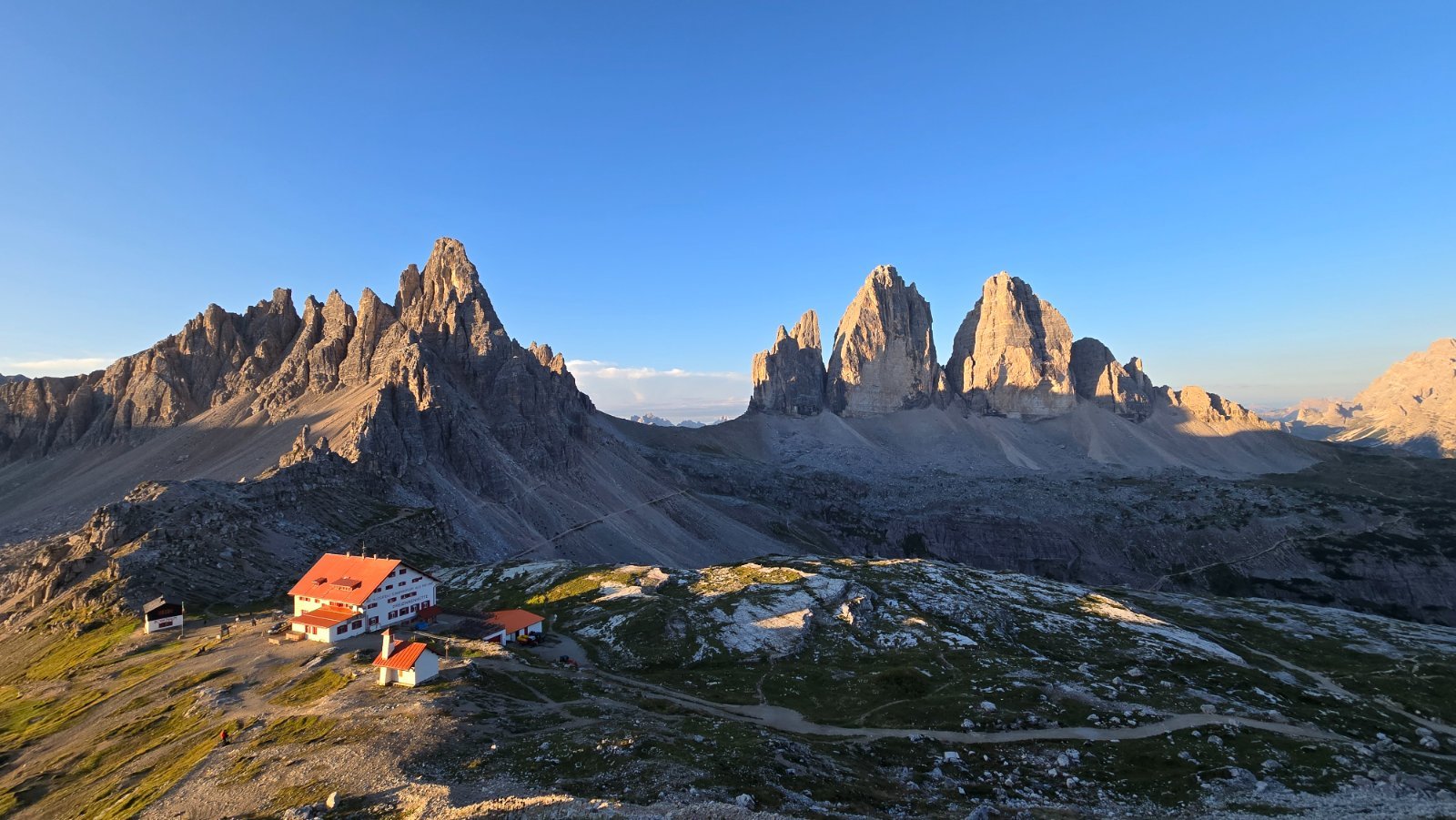
118.4km
Total Distance
6,390m
Elevation Gain
Trail description
August 2026 hut to hut trekking trip in the Dolomites, Italy
Route Map
Along the trail
- 1Viewpoint · 0.4km
- 2Viewpoint · 1.3km
- 3Viewpoint · 1.8km
- 4Viewpoint · 2.5km
- 5Viewpoint · 4.5km
- 6Viewpoint · 5.8km
- 7Drinking water · 12km
- 8Utia de Puez · 12kmMountain hut
- Path grade (SAC)
- T2 · T4 for 0.4km
- Surface
- gravel 68%, natural ground 22%
- Marked route
- Alta via n. 9 delle Dolomiti - Dolomiten-Höhenweg Nr. 9, 24, Alta via n. 4 delle Dolomiti - Dolomiten-Höhenweg Nr. 4
Difficulty
4/5 · Difficult- Experience with long mountain hikes
- Bring enough water - check sources along the route