Cima solda e ghiacciaio dei Forni da Santa Caterina Valfurva 170825
Cima solda e ghiacciaio dei Forni da Santa Caterina Valfurva 170825
16.2km
Total Distance
1,132m
Elevation Gain
Route Map
Along the trail
- 1Drinking water · 3.2km
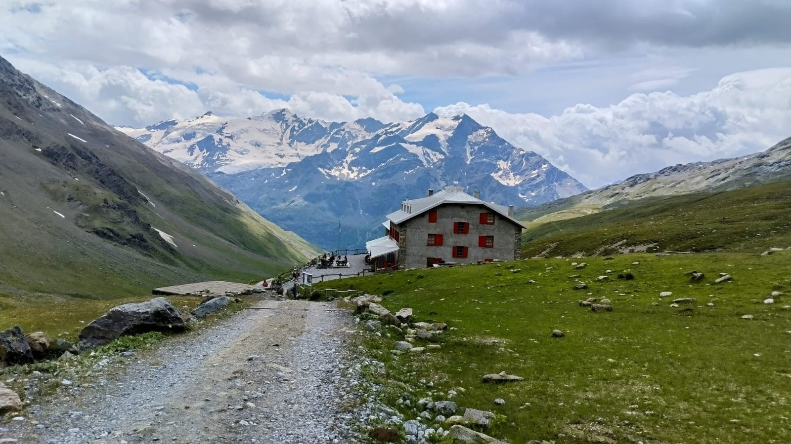
- 2Rifugio Pizzini-Frattola · 4.9kmMountain hut
- 3Rifugio Invernale Alessandro Guasti · 8.2kmShelter
- 4Drinking water · 13km
- 5Spring · 14kmsprings can run dry
- 6Rifugio Ghiacciaio dei Forni · 18kmMountain hut
- Parking
- 101m from the start
- Surface
- natural ground 71%, gravel 24%
- Marked route
- Sentiero Panoramico, 555
Difficulty
4/5 · Difficult- Experience with long mountain hikes
- Bring enough water - check sources along the route